The invisible hand that drew the lines
You've probably looked at a map of Amsterdam and figured some committee of architects laid it all out. Nope. The layout isn't a plan at all — it's a scar.
A new video by Daniel Steiner breaks down the physical forces that made this city grow in concentric rings instead of a grid. And it's not just history class. It's survival science.
The video points at a gap in how we read urban spaces. We treat the map as a fixed object. Really, it's a record of negotiation between humans and water.
Why the center feels so different today
Look at the core of the city. The streets are narrow and winding because they follow old dikes built in the twelfth century to stop flooding from the Amstel River.
Those dikes weren't decorative. They were life or death barriers. The street names you see now are fossils of those defensive lines.
When the city expanded later, it couldn't just draw a straight line. It had to work around water management infrastructure that was already two hundred years old.
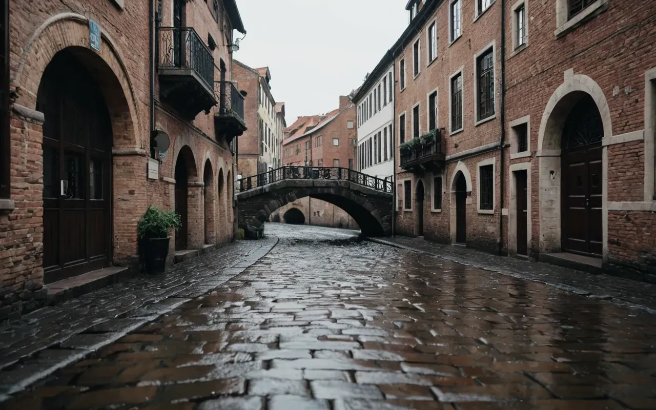
The golden age trap that shaped commerce
Here's where it gets counterintuitive. The famous canal rings from the seventeenth century weren't built for beauty or tourism.
They were an industrial logistics solution. Merchants needed direct water access to their homes and warehouses for heavy goods like timber, spices, and grain.
The ring shape allowed for efficient loading docks along every street. And that design choice locked the city's commercial heart far outside the medieval core.
How trade dictated your walking route
Walk through the Jordaan or De Pijp today and you're following a path optimized for barge traffic four hundred years ago.
The narrow bridges you struggle to cross exist because the canals had to stay wide enough for cargo ships. Your convenience was secondary to their profit.
Most travel guides miss this entirely. The friction you feel in these neighborhoods isn't bad planning; it's the ghost of heavy industry still shaping your movement.
Modern expansion and the cost of convenience
Fast forward to the nineteenth century. The city needed more space for a growing middle class and new rail connections.
The planners didn't abandon the ring system. They added another layer of expansion around the existing commercial core.
Which created a strange urban texture. Medieval dikes, golden age logistics canals, modern residential suburbs — all nested inside each other.
Why your navigation app might be wrong
Digital maps treat all streets as equal nodes. But here, a bridge isn't just a crossing; it's a bottleneck that's existed for centuries.
The algorithm suggests the shortest path. It doesn't account for the historical weight of that path or how it was originally designed to move heavy goods.
Knowing this helps you manage expectations. You're not just walking through a city; you're moving through layers of solved problems from different eras.
The real lesson for travelers and residents alike
I was struck by how much of our daily friction is really just historical inertia. We complain about crowds and narrow paths without knowing why they exist.
This video reminds us that a map isn't neutral. It carries the biases and necessities of every group that built on top of it before you showed up.
If you visit soon, look at the water. It isn't a feature; it was the primary constraint that dictated where every building could stand.
How to read the city like a historian
Start at the center and move outward. Notice how the streets get wider as you leave the medieval core.
Each ring represents a different economic priority. The inner rings are about defense and trade; the outer rings are about living space.
That reframes a simple walk. You're no longer just seeing buildings; you're reading the city's economic autobiography.
Final thoughts on navigating a layered past
The most surprising part of this analysis isn't the age of the dikes. It's how modern life still bends to their shape.
We think we control our routes and schedules. But the ground beneath us tells a different story about who really decided where things go.
Next time you feel lost or frustrated by the layout, take a breath. You're interacting with four centuries of human ingenuity and survival.